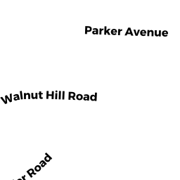
38 KENDALL RD
Owner Information
LISTERNICK JOAN TR
38 KENDALL RD
NEWTON CENTRE, MA 02459


Property Details
38 KENDALL RD is classified as a Single Family Residential (Ranch).
The primary structure on this property was built in 1953. There are 3,170ft2 of built area within this property. There is 1,403ft2 of residential/living space within this property. This property is listed as having 6 rooms.
38 KENDALL RD is valued at $663,500. The land is valued at $663,500 and the structures are valued at $0.
This property is in Zone SR3. Confirm with local Zoning Board authorities to ensure there are no overlays or other easements on this property.
The most recent deed for 38 KENDALL RD is recorded at the local registrar in Book 76754, Page 92. 38 KENDALL RD was last sold on Thursday, January 21, 2021 for $1.
Assessment data from fiscal year 2022.
Flood Data
This property is partially within the AE Zone (within floodplain). Approximately 0.04 acres (11.37%) of the property is within this zone.
This information is sourced from the FEMA National Flood Hazard Layer. See our full disclamer.
Broadband Internet Providers
| Provider | Type | Bandwidth (mbps) | |
|---|---|---|---|
| VSAT Systems, LLC. | Satellite | 2 | 1 |
| HughesNet | Satellite | 25 | 3 |
| GCI Communication Corp. | Satellite | 0 | 0 |
| RCN | Cable | 500 | 20 |
| Comcast | Cable | 1000 | 35 |
| Verizon New England Inc. | Fiber | 940 | 880 |
| Viasat Inc | Satellite | 100 | 3 |
Broadband service provider data from December 2020.